
Way of St Francis • Cammino di Dante • Pontassieve, 19 km from Florence
Way of St Francis and Dante’s Path in Pontassieve: stages and where to stay
Pontassieve is a stage town on two walking routes: the Way of St Francis (Via di Francesco), which climbs from Florence towards the Consuma Pass and La Verna, and the Cammino di Dante, which comes down the Sieve valley to Florence. Our family-run farmhouse sits on the Montefiesole hill, about 10 minutes by car from the town centre: a quiet place to sleep before or after a stage.
Pontassieve, where the Arno meets the Sieve
Pontassieve grew up where the Arno and Sieve rivers meet, and both routes reach the town by following them. The Way of St Francis walks up the Arno from Florence and, the next day, crosses the Medici Bridge over the Sieve towards San Francesco di Pelago. The Cammino di Dante comes down the Sieve from Dicomano and continues towards Rosano and Florence.
For walkers it is simple: one stage ends in town and the next one begins. To discover the centre, the Medici Bridge and the station, read our guide to villages and walks around Pontassieve.
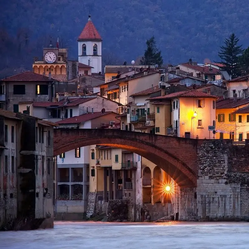
The Way of St Francis from Florence to Pontassieve and Consuma
The Tuscan section runs from Florence to the Sanctuary of La Verna; the route then continues to Assisi.
Florence – Pontassieve
- About 19 km, total ascent around 500–600 m
- Starts at the Basilica of Santa Croce, ends in Piazza Vittorio Emanuele II
- Along the Arno through Compiobbi and Sieci, then among olive groves
- Mixed surface: gravel tracks and tarmac
There are no waymarks inside Florence; red-and-white marks appear outside the city. A GPS track is strongly recommended.
Pontassieve – Consuma Pass
- About 17–19 km depending on the source, with over 1,100 m of ascent
- Medici Bridge, San Francesco di Pelago and its church
- Diacceto with its Pieve di San Lorenzo, then Ferrano castle
- A final stretch through the woods up to Consuma, above 1,000 m
It is uphill almost all the way: an early start is a good idea.
From Florence to La Verna it is about 100 km in 6 stages: after Consuma the route passes Stia, Camaldoli and Badia Prataglia. The full route to Assisi is about 290 km. In Tuscany it is waymarked with the yellow Tau and red-and-white signs.
Guides rate it as an intermediate hiking route with plenty of ups and downs, so good fitness and some experience of mountain paths help. The pilgrim credential collects stamps along the way; those who walk at least the last 100 km to Assisi can receive the Testimonium.
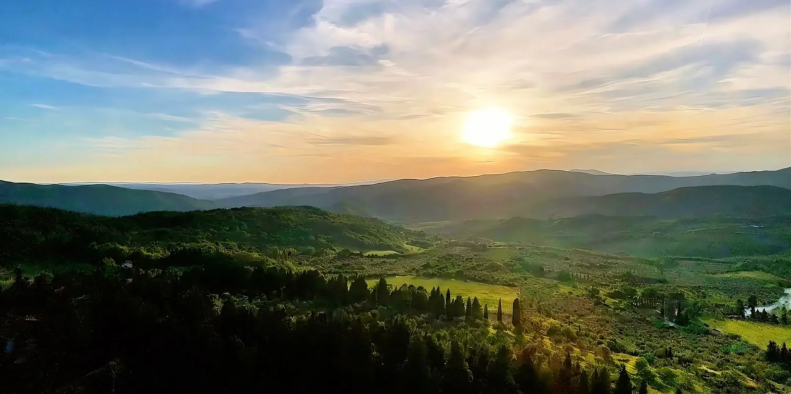
The Cammino di Dante between Dicomano, Pontassieve and Florence
A loop of about 380 km between Ravenna and Florence, through places linked to the poet.
Dicomano – Pontassieve
- 21 km
- From Dicomano towards Celle, among cypresses, olive groves and stretches of medieval road
- Past Lago d’Argento, then a hillside path along the Sieve
- From Montebonello along quiet Via Colognolese to Pontassieve
Pontassieve – Rosano – Florence
- 20.7 km
- Along the Sieve and the Arno to the bridge for Rosano and its abbey
- A climb through the woods to the Convento dell’Incontro, with views over Florence
- Down on CAI path 4, ending at the Museo Casa di Dante
The Cammino di Dante links Ravenna and Florence with an outward and a return route that partly differ. It has its own waymarking with the CD logo, and verses from the Divine Comedy are posted at rest points. It is walked from May to October; at one stage a day, Ravenna to Florence takes about 10 days.
Registering with the association gives you the credential, map, guide and a list of places to stay along the route. Before setting off, check the route bulletin on the official website, as some stages may have diversions. On the Montefiesole hill, an oral tradition links Dante’s name to Tassinaia itself: read about it in our article on Montefiesole: history, nature and Dante.
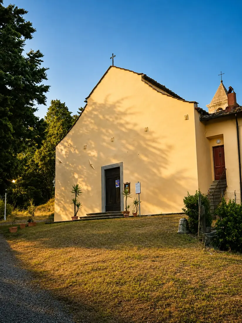
Walks starting from Tassinaia too
Before or after the long routes, the paths begin right outside the door.
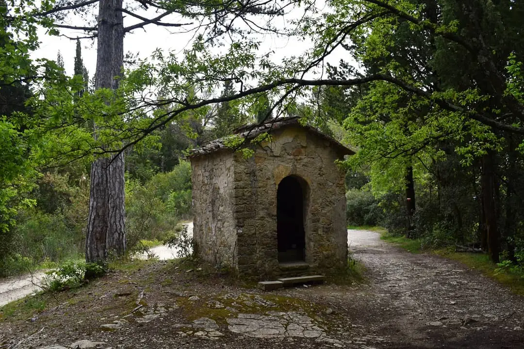
The Montefiesole and Tassinaia loop starts right at the farmhouse: about 7.8 km, easy, around 2 hours, through woods, olive groves and viewpoints over the Sieve valley. You can ask us for the GPX track free of charge.
Five minutes’ walk away is the Pieve di San Lorenzo in Montefiesole, documented since 1190: a short stroll to stretch your legs the day after a stage.
Staying at Tassinaia before or after a stage
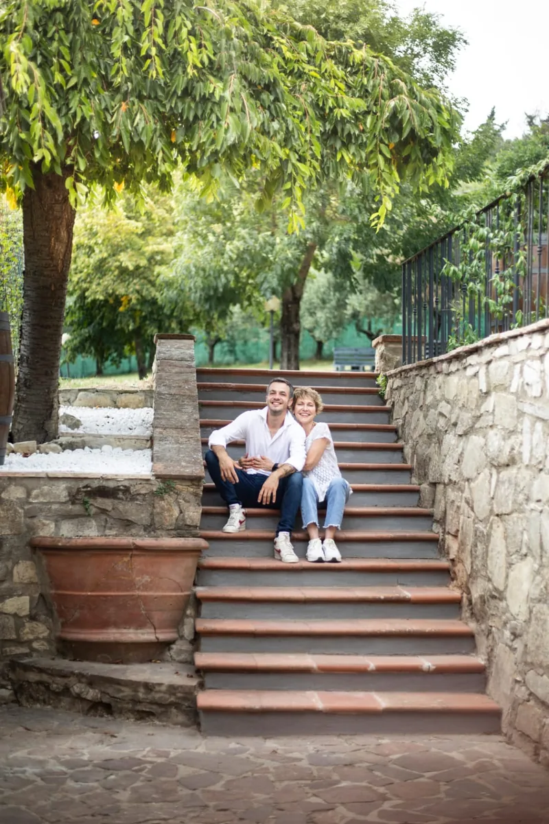
You will be welcomed by Gherardo and his mother Renza in a farmhouse among the olive trees, at about 500 metres above sea level. A generous sweet and savoury breakfast buffet is included every morning (8:00–10:00), and your car stays in the estate’s large free private car park.
The farmhouse is not on the trail: as the crow flies, the Cammino di Dante passes about 1 km away, down in the Sieve valley, and the Way of St Francis about 3 km away. Pontassieve centre is about 10 minutes by car. If you are walking without a car, on request we can pick you up in Pontassieve and arrange luggage transfer.
If you set off early, you can ask for an early breakfast, and a washing machine and dryer are available. You can also stay several nights and walk one stage at a time: for example, your car stays in the estate’s large free private car park, or you can park easily at Pontassieve station: from the station, take the train to Florence (about 25 minutes) and walk back from Santa Croce to Pontassieve along the Arno on stage 1 of the Way of St Francis (about 19 km).
After a day on foot you can book the private hot tub, at least 24 hours in advance. For a rest day, Florence is about 25 minutes by train from Pontassieve station: see our guide on how to visit Florence by train. More ideas on our page where to stay in Pontassieve.


Practical information
Check-out at 10:30, late check-out on request.
Generous sweet and savoury breakfast buffet from 8:00 to 10:00, earlier on request.
On request: pick-up in Pontassieve and luggage transfer.
Washing machine and dryer available.
Pets welcome on advance request, with a supplement to be agreed.
Download the GPS track and check weather and trail conditions stage by stage.
FAQ about walking routes in Pontassieve
Does the Way of St Francis pass through Pontassieve?
Yes. On the Tuscan section from Florence to La Verna, Pontassieve is the end of stage 1 (about 19 km from Santa Croce, along the Arno) and the start of stage 2, towards the Consuma Pass.
And the Cammino di Dante?
Yes. On the outward route from Ravenna to Florence, stage 9 Dicomano–Pontassieve (21 km) ends in Pontassieve and stage 10 Pontassieve–Rosano–Florence (20.7 km) starts here and ends in central Florence.
Is Agriturismo Tassinaia on the trail?
No, neither route passes through the estate. As the crow flies, the Cammino di Dante (stage 9, down in the Sieve valley) passes about 1 km away and the Way of St Francis about 3 km away. Pontassieve centre, where the stages begin and end, is about 10 minutes by car; on request we can pick you up in town and take care of luggage transfer.
Can we walk one stage as a day trip and come back to sleep here?
Yes, with stage 1 of the Way of St Francis. Your car stays in the estate’s large free private car park, or you can park easily at Pontassieve station: from the station, take the train to Florence (about 25 minutes) and walk back from Santa Croce to Pontassieve along the Arno, about 19 km. The stage ends in town.
When is the best time to walk?
For the Way of St Francis, the Forwalk guide recommends May–June and September–October. The official Cammino di Dante website says the route is walked from May to October.
Can we bring our dog?
Yes, we accept dogs and other pets on advance request, with a supplement to be agreed. Not every accommodation along the routes accepts pets, so it is worth checking with them too.
Book your stay on the route
Choose your dates on our official booking page or message us on WhatsApp to plan your nights before or after a stage.
- Forwalk – Via di Francesco guide (routes, waymarking, credential, best season; in Italian)
- Italia.it – Way of St Francis, Florence–Pontassieve stage and Pontassieve–Consuma Pass stage
- Via di Francesco Florence – La Verna, stage notes
- Il Cammino di Dante – stages and route and official FAQ (in Italian)
Distances and ascents vary slightly between sources: always check tracks and updates on the official websites before you set off.